 |
|
|
|
|
 |
|
|
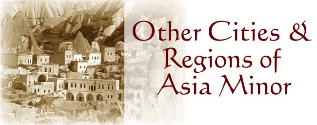
The Geography of Kotyora (Ordou) in 1921 Along the Southern Shore of the Black Sea By Pantelis M. Kontogianni English translation by Mary Papoutsy Kotyora (Ordou) Location: in the Sanjak of Trapezounta, in the larger VIlayet of Trapezounta [both terms referring to sizes of area and politico-geographical distribution during the Turkish Ottoman Empire and present-day Turkey] Inhabitants 13,000 Turks 5,000 Greeks 5,500 Armenians 2,500 Ordou is a regional center. The town lies three hours from Kerasountos along a beautiful gulf in a spot that is relatively quiet and level. It is on the northern slope of Mount Pez-tepe whose peak reaches a height of 450m and reveals a magnificent view because of its amphitheater-like topography.--From the harbor of this city many products are exported: beans, corn, hemp, wool, walnuts, hemp-seed, linseed, cereals, oats, rice, rye, wax, eggs, apples, etc. And the extent of imports here is not insignificant, either. on account of this, steam ships often draw into the harbor of Kotyoron. It also has communication with overloooking villages and cities. At a distance of about 1/2 hour from the city, the Melanthios River (Melet-sou) flows toward it, and just beyond it the Aptal-sou River, which is also the boundary of the ecclesiastical jurisdiction of the metropolis of Neocaesarea and Chaldea.--Ordou burned in a conflagration one day in 1913. And it is also the regional seat of Neocaesarea. The word "Ordou" is Turkish and means army-camp. It was given this name because the city was established in the 15th century to serve as a center and headquarters for military strikes. The entire area has a population of 100,000. Historical information for Kotyora (Ordou) Kotyoron was a colony of SInope, established at about the same time as Kerasountos and Trapezountos. Its [ancient] ruins appear today to the west at a distance of 1/2 hour from Ordou. It is known from the Anabasis of Xenophon that Xenophon's thousands of soldiers stayed in this city 45 days. Here Xenophon received embassies from Sinope who were offering to send their own ships to transport the soldiers and their things all the way to Heracleia, so that they would not cros through their land. Kotyora and its surrounding area constitute part of the kingdom of Mithradates.--To the west of Kotyoron and a little distance from it, are the harbor Voonos (Vona) or Tsam-bournou, the best harbor after the one at Sinope, and a cape bearing the same name, called Genetes by Strabo. In this area, too, is the cape of Jason, which bears the name of the leader of the Argonauts, according to the same author, Strabo. All aroudn Ordou appear many ruins of churches--only Greek ones. Between the two capes we have the island Kilikon (Hoinat-Kalesi) and the place of Polemon (today it is called Poulaman, a squalid land, plagued by fires), the central seat of Polemon, King of Pontos, from whence the land has inherited its name as Polemonios Pontos and the exarch of Neocaesarea of Polemoniako Ponto. The entire area of Ordou has 309 villages. It has a healthy climate in the interior. Nevertheless, the city Ordou and the seaside region where they cultivate rice and form wetlands, are unhealthy. On account of this summer harvest of rice, the inhabitants leave the city and stay in the hills until fall, so that they won't come down with malaria.--As to the produce exported from the harbor of Ordou, we listed these above with the yield of this region of fertile land. But is has lazy inhabitants and agriculture has been neglected. Otherwise its production could have been much higher than its current yield. Among the fruits of the region they especially prize apples which they export in great numbers Other notable products of the region, exported to Europe, are eggs.--The soil of the region is of volcanic origin and has metals. To the south of Ordou at a distance of 15 km there is a mine of lead and silver (at Vakatzik). To the east of it at a distance of 25 km, near the sea, there is amanganese mine (at Aptal). Near the city there is a chalk quarry.--Stock breeding, especially of sheep, flourishes, and by-products of this are butter and cheese. Wool likewise constitutes a very important by-product of this life. The land of the region is covered by forests of oak, walnut, cypress, plane-tree [Cercis siliquastrum], beech, ash, alder, elm, fir, pine, and box-tree. Within these forests subsist bears, wild boars, wolves, foxes, jackals, wildcats, antelopes, and wild goats. A wagon road joins Ordou with Sevasteia. Ordou extends 82 km from boundary to boundarsy and is filled with bridges, stones, and wood. |
|
"The Geography of Kotyora (Ordou) in 1921 Along the Southern Shore of the Black Sea" is one small translated section of a larger Greek work, The Geography of Asia Minor. Written by Pantelis M. Kontogianni originally in 1921, this monumental and valuable work was reprinted in 2000 by the Syllogos Pros Diadosin Ophelimon Biblion (The Society for the Dissemination of Useful Information), Odos Akademias 34, Athens 10679 [ISBN 960-7133-79-X]. The English translation has preserved the general vintage style and punctuation of the original Greek text. |
|
 |
|
|
2000 © Hellenic Communication Service, L.L.C. All Rights Reserved. http://www.HellenicComServe.com |